 |
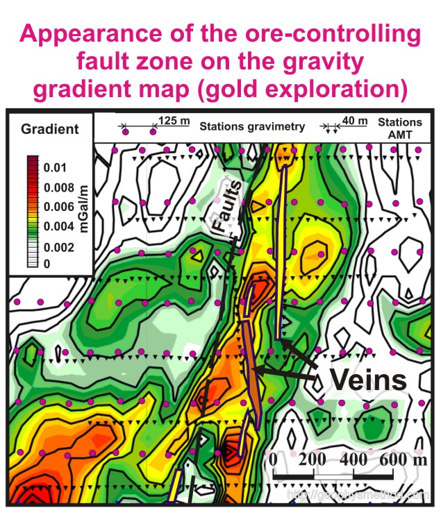
Ground gravity survey Nowadays ground gravity survey has become the most powerful instrument for geologists and engineers. The relative simplicity of data analysis and interpretation allow to fulfill a lot of structural and exploration tasks. The gravity survey is applied in chromite ore exploration, in oil and gas deposit monitoring, in structural maps construction, in searching of metasomatic alteration zones and weak zones of the Earth crust, faults and dykes mapping and more. It is possible to cover the area of 300 sq. km. with 125 m to 250 m step by using just one gravimeter. The weight of equipment is not more than 14 kg (8 kg for gravimeter and 6 kg for DGPS with a tripod). The survey can be applied in all seasons without using any special transport in rain, in hot weather and in extreme temperatures below zero. Any electromagnetic noise is not a problem for measurements. The accuracy of Canadian company SCINTREX is up to 1 microgall. Nowadays differential GPS provides 1 cm accuracy. |